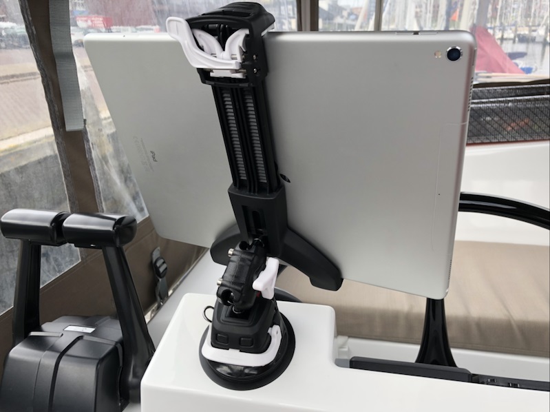
Ipad holder near NAV station
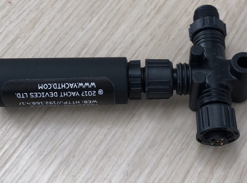
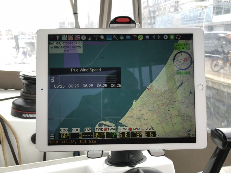
I use the Garmin chart plotter only to see what is around me using Radar and AIS. I use the heading-up setting so that left is left, and right is right. I use my Ipad pro with Navionics for navigation with a north-up setting. It is very easy to set routes, change routes etc. Also the depth information with the sonar data is much more detailed. I installed a Scanstrut Ipad holder and a Scanstrut waterproof USB socket at the helm station. The latest Navionics version also can show AIS data, provided you have a NMEA 2000 Gateway (transmitter) in the boat, which we have. We use Yacht Devices YDWG-02.
Leave A Comment