
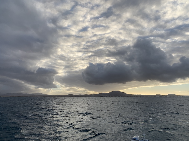
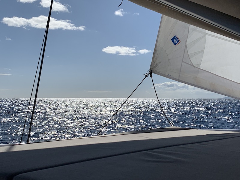
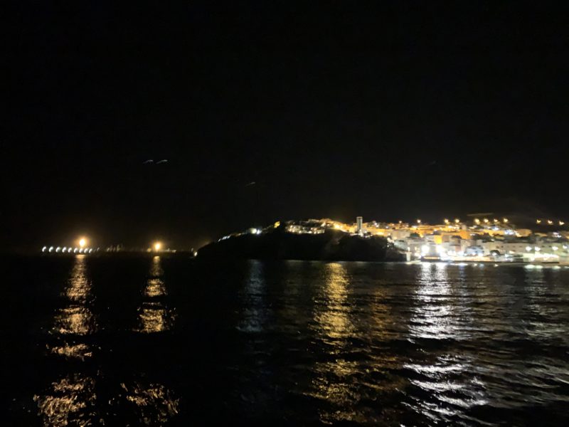
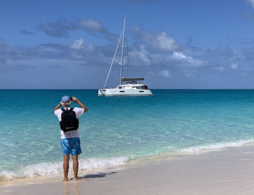
After a week in Marina Lanzarote, it was time to move further south direction Las Palmas. The first anchorage was at Isla de Lobos, an island very close to Fuerteventura.
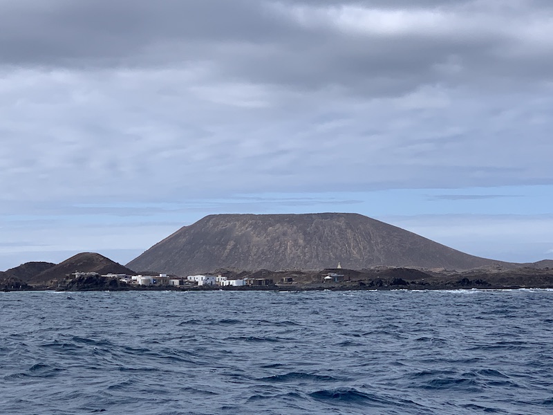
Isla de Lobos
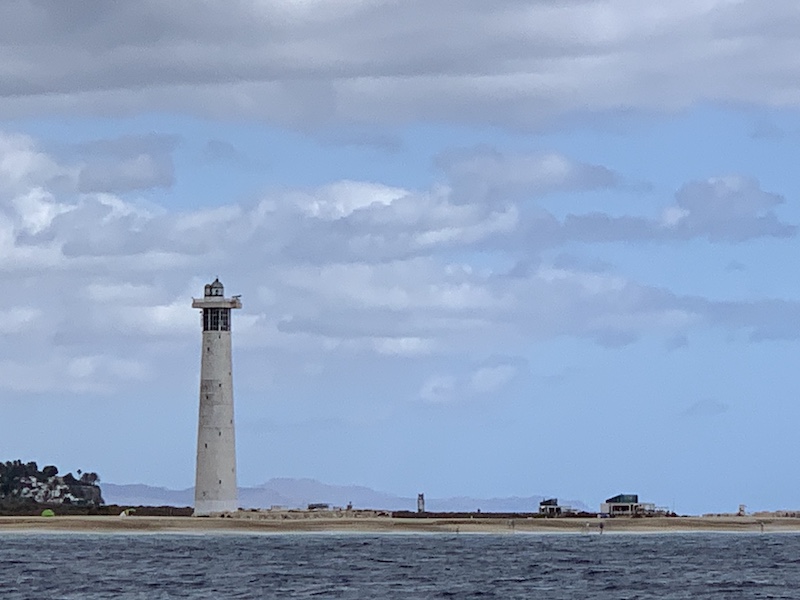
Lobos is a small island of the Canary Islands (Spain) located just 2 kilometres (1 mile) north of the island of Fuerteventura. Politically it belongs to the municipality of La Oliva on the island of Fuerteventura. It has an area of 4.68 square kilometres (1.8 sq mi). It has been a nature reserve (Parque Natural del Islote de Lobos) since 1982. The island is accessible to tourists via a short ferry ride from Corralejo, in the north of Fuerteventura. It has day facilities and weekend homes of local fishermen. At the northeastern end of the island is the Punta Martiño Lighthouse, the lighthouse keeper and his family were the last permanent inhabitants of Lobos until the light was automated in the 1960s.
Lobos Island (Wolves Island) was named for a large number of sea wolves, also called monk seals, that once lived there. The monk seals were the island’s only inhabitants when it was discovered by the Spanish conquerors of the Canaries archipelago in the fifteenth century, but with the arrival of man, these animals were hunted on a massive scale by sailors and fishermen who saw them as a source of food, fat, and skin. As a result of this hunting, the species eventually became extinct on the island and its presence now is only occasional.
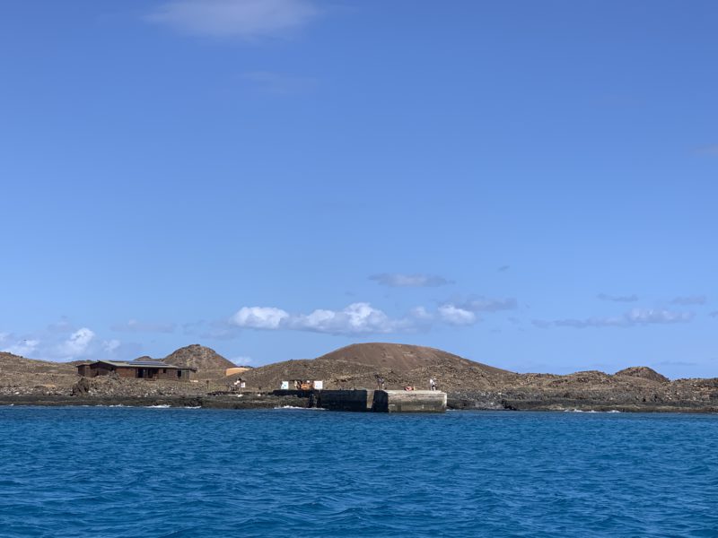
The anchorage is a little uncomfortable. Look out not to anchor to close to the jetty, or in the way of the ferries. Otherwise, your rocking all night! Still we stayed there for 2 days being only lazy!
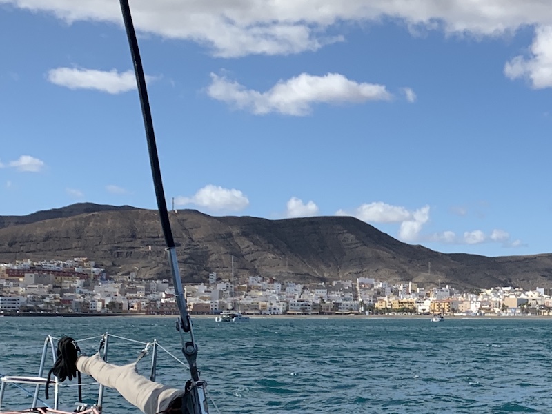
There are not many anchorages at the island of Fuerteventura. On the West coast there is non! So we stayed on the east side and there are also only a few. Our next anchorage was the bay in Gran Tarajal.
Gran Tarajal is the second-largest city in Fuerteventura. Tourists hardly come here, but at the weekend the Canaries go with their families for entertainment to the long, dark beach. Early in the evening, the locals meet in the cafes around the harbour. Gran Tarajal has many shops and has an important arena for wrestling matches. Canarian Wrestling is an old tradition on the Canarian islands. The Canarian wrestling “Lucha Canaria” is a typical and very popular sport of the locals. Its roots lie far back in the history of the islands and supposedly it served to solve disputes among the original inhabitants, the Guanches. What is there to see? A ring-fight, which still follow the same rules since centuries. The “Luchada” (struggle) is between 2 wrestlers on a “Terrero” – a round circle filled with sand. Then they wrestlers start shoulder to shoulder with pulling, dragging and pushing and with various tricks, plenty of power and a lot of speed they try to get the other to come into contact with the sand. What stands out – despite all ambitions the wrestler are fighting with a certain “kindness”. And to inquiries, I was told that that “Lucha Canaria” means also to respect each other. For this reason, there is not only a short embrace before the fight starts but also a handshake after every fight.
In the middle of the city is a striking fountain with six water-spouting seahorses. The sea horse fountain is opposite the 1879 Iglesia Nuestra Señora de la Candelaria church. The church is a gift from Matíaz López, an islander who became rich in Cuba. After his return, he changed the fishing village into an important export port for food and tomatoes. These days mainly fishing boats can be found in the harbour. Palm forest In the valley near the city lies a majestic palm forest. A shady part of this is on the access road to Gran Tarajal.
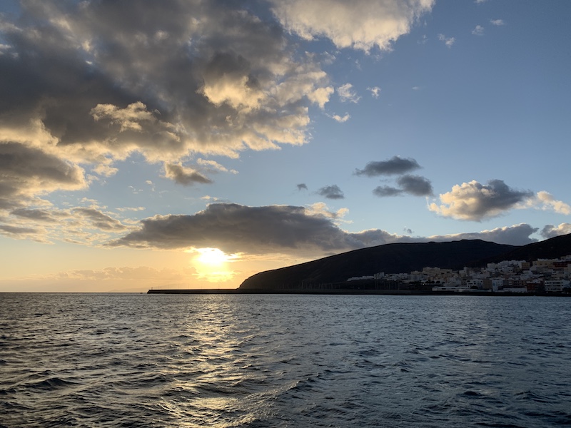
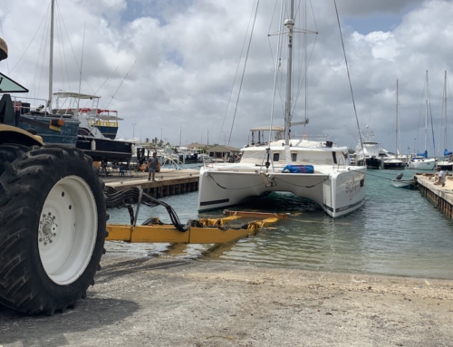
Next day we sailed to the south of the island. We ended up on anchor along the beach of Morre Jable. We went ashore with our dinghy. Now we could check our the dinghy wheels for the first time! And it works great! We had a great dinner at one of the nice restaurants along the beach. The anchorage is a nice spot but we ended up sleeping not very well … very rolly!
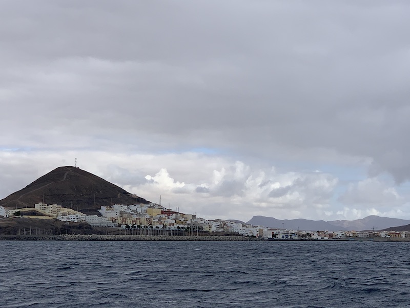
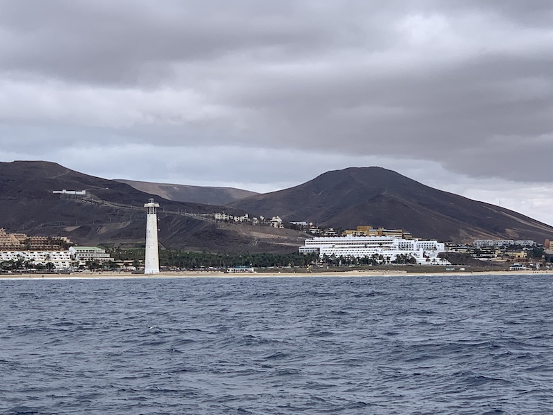
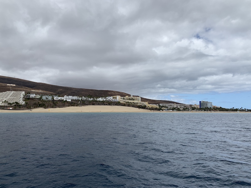
Morro Jable
The southernmost village of Fuerteventura is Morro Jable. It is the most important place on the Jandía peninsula. Morro Jable was originally a small fishing village. The rise of tourism has changed its appearance considerably. On the south side of the village, a hiking trail has been created that leads to the tourist town of Jandía with some level differences. The heart of Morro Jable consists of two parts. At the sea, you have a part where the fish restaurants, cafeterias and a number of shops bring a continuous piece of atmosphere. Here you can eat fresh fish all day long, but also other dishes. For meat lovers, you can also get a good piece of meat here. Fortunately, this piece consists of purely local restaurants. No fast-food restaurants here or those restaurants where there is mainly high-calorie and little attractive food. This part of Morro Jable is one of the most atmospheric that you will find on Fuerteventura.
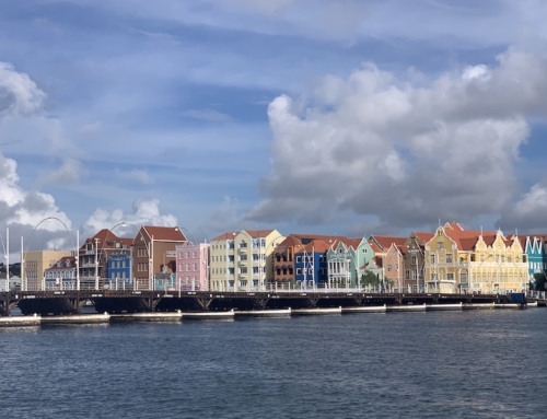
The next day we sailed to our final destination for a month, Las Palmas. Between Fuerteventura and the island of Las Palmas, you find a shipping lane and the Navionics chart says that you are not allowed to enter this part. We found that a bit strange as normally you may pass a shipping lane but not know. I called port Authority first but they said we had to call the Marina. What I did. And they said it was not allowed to enter that part so we had to sail 15 NM longer to avoid the shipping lane ….
Just for everyone to remember here are the rules when passing a shipping lane:
International Regulations for Preventing Collisions at Sea
COLREGS are the International Regulations for Preventing Collisions at Sea and were published by the IMO in 1972. They should be well studied by any skipper taking his boat out to sea, whether he is intending to cross the busy shipping route or not. Some important rules which skippers crossing the lanes of a Traffic Separation Scheme should be aware of and fully understand are included in the COLREGS Rule 10.
- Rule 10 (c) – “ A vessel shall so far as practicable avoid crossing the traffic lanes but if obliged to do so shall cross on a heading as nearly as practicable at right angles to the general direction of the traffic flow”. This reduces confusion and enables the vessel to cross as quickly as possible.
- Rule 10 (e) – “A vessel other than a crossing vessel or a vessel joining or leaving a lane shall not normally enter a separation zone or cross a separation line except 1. in case of emergency to avoid immediate danger: 2. to engage in fishing within the separation zone”.
- Rule 10 (f) – “A vessel navigating in areas near the terminations of traffic separation schemes shall do so with particular caution”.
- Rule 10 (g) – “A vessel shall as far as practicable avoid anchoring in a traffic separation scheme or in areas near its terminations”.
- Rule 10 (h) – “A vessel not using a traffic separation scheme shall avoid it by as wide a margin as is practicable”.
- Rule 10 (j) – ” A vessel of less than 20m in length or a sailing vessel, shall not impede the safe passage or a power-driven vessel following a traffic lane”.
Look at this awesome film CatGreatCircle. Great footage of the islands and sailing to Las Palmas!

Leave A Comment