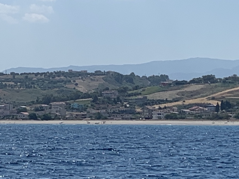
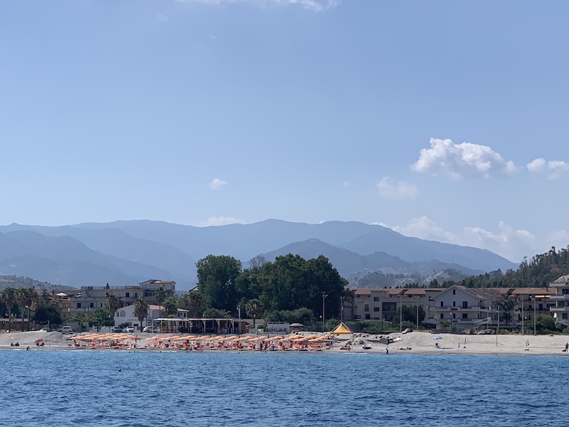
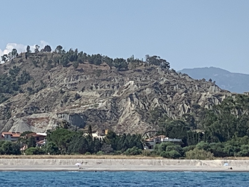
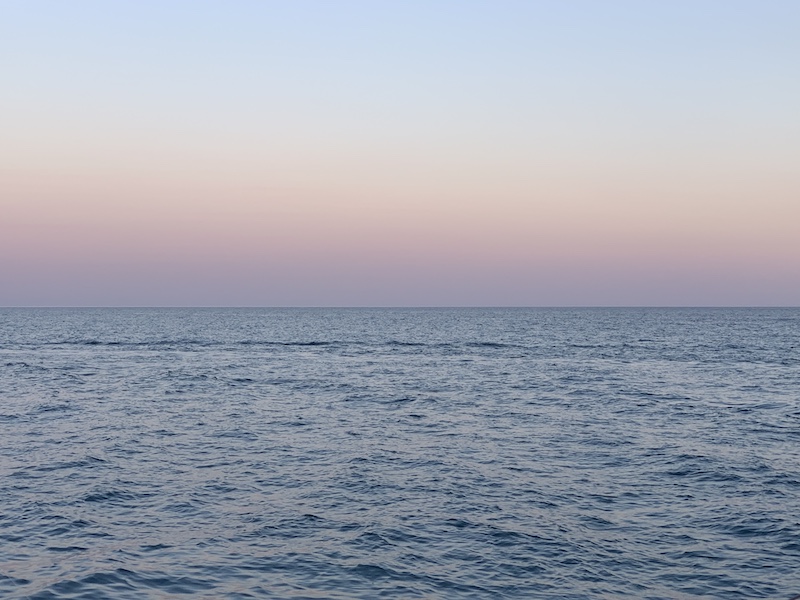
We keep sailing south in the direction of the Street of Messina. Another Bucket thing to do! But first, we linger along the mountainous coastline of Calabria. The Calabria region is an interesting and beautiful part of Italy. We have been here before but not with the boat but exploring the region by car. The anchorage is a large bay close to the marina. From the bay, you have a nice view of the town and the castle.
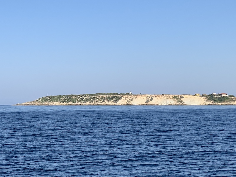
The marina of is the first proper harbor encountered by a yacht eastbound from Sicily along the southern side of the ‘toe’ of Italy (the marina of Saline Ioniche remains completely silted up and unusable). The marina lies some 60 sea miles NE of the sandy point of Punta Pellaro at the southern end of the Straits of Messina. The marina entrance silts continually and is constantly dredged to a claimed depth of 5.0 meters. Even so, the channel is constantly shifting and entry in winds of above force 6/7 or swell of more than 1.0 meter is not recommended.
The harbor of Rocella Ionica is called Porto Delle Grazie – Marina di Roccella. The most prominent feature is a ruined castle on the ridge above the town. Once closer in, the breakwater of the harbor and the masts of moored yachts are clearly identifiable. Great care is needed in the approach as the marina entrance is subject to constant silting and the channel shifts with strong storms. In particular, the area around the southern arm of the breakwater (to the starboard side on entry) is silted to a depth of around a meter. Maximum depths in the entrance (December 2010) are reported as 5.0 meters, though 3.5 – 4.0 meters is closer to the experience of most recent visiting yachts (June 2016). The best approach is on a dog-leg about 200 meters off the end of the breakwater, only turning when the entrance is open due E. Head directly for the groin on the beach, when abreast of the port side of the entrance turn toward it and keep close to the port side of the entrance as you come in. If in any doubt, call the marina office on channel 14 or 16 for advice. They will often send a boat out to guide you in if you are deep draft. With strong southerlies, the wise course is to stand off altogether until conditions improve.
Once past the fishing boat basin and into the marina area, the first set of pontoons on the landward side seem to have been set aside for visitors. There are finger piers spaced such that two 35 foot yachts will fit together between two finger piers, but probably not two 45 footers. There are berths on both sides of the pontoons through during our visit most of the berths on the land side of the pontoon were cleared in preparation for a regatta.
Rocella
The town of Roccella Ionica still keeps the remains of its ancient history. Two Egyptian columns, that belonged to a pagan temple, can be admired along the promenade; they were discovered in 1863 by a group of fishermen. The ruined Medieval castle stands in the ancient and deserted area. In the 10th century, it was called “Rupella”, then “Arocella”, till today’s Roccella, a name that derives from the fact that the town rises on the cliff (Italian Rocca). The first documented evidence of the existence of Roccella Jonica dates back to 1270 when Gualtieri de Collepietro was given the castle of Roccella of San Vittore by Charles I d’Anjou. For a long time, Roccella was the only town standing on the Ionian coast.
Calabria region
The region is generally known as the “toe” of the “boot” of Italy and is a long and narrow peninsula which stretches from north to south for 248 km, with a maximum width of 110 km. Some 42% of Calabria’s area, corresponding to 15,080 km2, is mountainous, 49% is hilly, while plains occupy only 9% of the region’s territory. It is surrounded by the Ionian and Tyrrhenian seas. It is separated from Sicily by the Strait of Messina, where the narrowest point between Capo Peloro in Sicily and Punta Pezzo in Calabria is only 3.2 km (2 mi).
Three mountain ranges are present: Pollino, La Sila and Aspromonte. All three mountain ranges are unique with their own flora and fauna. The Pollino Mountains in the north of the region are rugged and form a natural barrier separating Calabria from the rest of Italy. Parts of the area are heavily wooded, while others are vast, wind-swept plateaus with little vegetation. These mountains are home to a rare Bosnian Pine variety and are included in the Pollino National Park. The Pollino National Park also has the distinction of being the largest national park in Italy and covers about 1,925.65 square kilometers.
In general, most of the lower terrain in Calabria has been agricultural for centuries and exhibits indigenous scrubland as well as introduced plants such as the prickly pear cactus. The lowest slopes are rich in vineyards and citrus fruit orchards. The Diamante citron is one of the citrus fruits. Moving upwards, olives and chestnut trees appear while in the higher regions there are often dense forests of oak, pine, beech and fir trees.
This aerial video from Antonio Lobello- ugesaru73 shows you the town of Roccella and at the end of the video also the marina. The anchorage is in the first bay out of the marina.

Leave A Comment